Service public de Wallonie |
|
DENSPOP_TYPO
https://geoservices.wallonie.be/arcgis/services/HABITAT/DENSPOP_TYPO/MapServer/WMSServer
| Service health Now: |
|---|
- Interface
- Web Service, OGC Web Map Service 1.3.0
- Keywords
- aspects sociaux, population, démographie
- Fees
- unknown
- Access constraints
- unknown
- Supported languages
- No INSPIRE Extended Capabilities (including service language support) given. See INSPIRE Technical Guidance - View Services for more information.
- Data provider
-
Service public de Wallonie (unverified)
Contact information:
Service public de Wallonie
Namur, Belgium
Email:
- Service metadata
- No INSPIRE Extended Capabilities (including service metadata) given. See INSPIRE Technical Guidance - View Services for more information.
Ads by Google
Ce service de visualisation REST permet de consulter la couches de données "Densité de population".
Available map layers (1)
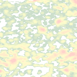
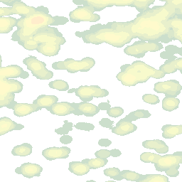
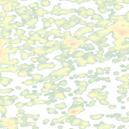
Nombre d'habitants dans un rayon de 500 m (0)
Densité de population 2017. Consultez toutes les informations sur cette donnée sur https://geoportail.wallonie.be/catalogue/43927b07-f060-4845-82db-56425fca77db.html.
There are currently no notifications for the service, click the feed icon to subscribe.