Service public de Wallonie |
|
WAL_OCS_IA__CHA_18_20
| Service health Now: |
|---|
- Interface
- Web Service, OGC Web Map Service 1.3.0
- Keywords
- Changement, occupation du sol, IA
- Fees
- unknown
- Access constraints
- unknown
- Supported languages
- No INSPIRE Extended Capabilities (including service language support) given. See INSPIRE Technical Guidance - View Services for more information.
- Data provider
-
Service public de Wallonie (unverified)
Contact information:
Service public de Wallonie
Namur, Belgium
Email:
- Service metadata
- No INSPIRE Extended Capabilities (including service metadata) given. See INSPIRE Technical Guidance - View Services for more information.
Ads by Google
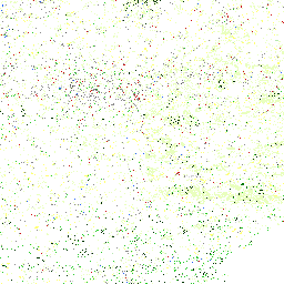
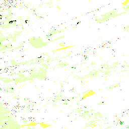
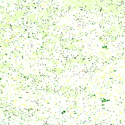
Service de visualisation de la carte des changements d'occupation du sol entre 2018 et 2020
Available map layers (1)
Occupation du sol de 2020 pour les zones de changement entre 2018 et 2020 (0)
Carte des changements d'occupation du sol entre 2018 et 2020, présentant l'occupation du sol en 2020 Données issues d'une convention avec AéroSpace Lab Plus d'informations sur cette donnée : https://geoportail.wallonie.be/catalogue/5a5859ed-08f0-4bbb-8ed9-aa28494a8848.html
There are currently no notifications for the service, click the feed icon to subscribe.