Service public de Wallonie |
|
LIMITES_ADMINISTRATIVES
https://geoservices.wallonie.be/arcgis/services/LIMITES/LIMITES_ADMINISTRATIVES/MapServer/WMSServer
| Service health Now: |
|---|
- Interface
- Web Service, OGC Web Map Service 1.3.0
- Keywords
- None
- Fees
- unknown
- Access constraints
- unknown
- Supported languages
- No INSPIRE Extended Capabilities (including service language support) given. See INSPIRE Technical Guidance - View Services for more information.
- Data provider
-
Service public de Wallonie (unverified)
Contact information:
Service public de Wallonie
Namur, Belgium
Email:
- Service metadata
- No INSPIRE Extended Capabilities (including service metadata) given. See INSPIRE Technical Guidance - View Services for more information.
None
Available map layers (4)
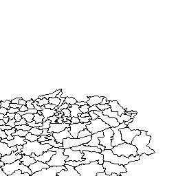
Commune (0)
Pour plus d'informations sur cette donnée, consultez https://geoportail.wallonie.be/catalogue/56d7efe4-b25b-4d82-adca-c2c193b1b4fa.html
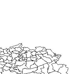
Arrondissement administratif (1)
Pour plus d'informations sur cette donnée, consultez https://geoportail.wallonie.be/catalogue/56d7efe4-b25b-4d82-adca-c2c193b1b4fa.html
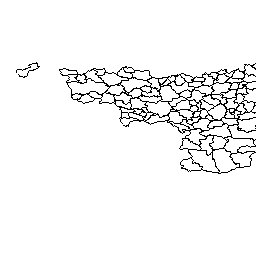
Province (2)
Pour plus d'informations sur cette donnée, consultez https://geoportail.wallonie.be/catalogue/56d7efe4-b25b-4d82-adca-c2c193b1b4fa.html
Région (3)
Pour plus d'informations sur cette donnée, consultez https://geoportail.wallonie.be/catalogue/56d7efe4-b25b-4d82-adca-c2c193b1b4fa.html