Geodatastyrelsen |
|
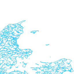
Hydrography
| Service health Now: |
|---|
- Interface
- Web Service, OGC Web Map Service 1.1.1
- Keywords
- view, infoMapAccessService, Hydrography
- Fees
- Kontakt Geodatastyrelsen
- Access constraints
- Kræver abonnement på Kortforsyningen
- Data provider
-
Geodatastyrelsen (unverified)
Contact information:
Geodatastyrelsen
postal:
Rentemestervej 8, 2400 København NV, DenmarkEmail:
Phone: +45 7254 5000
Hydrography INSPIRE View Service
Available map layers (3)
Hydrography (Hydrography)
Hydrography
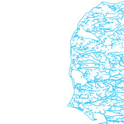
HY.PhysicalWaters.LandWaterBoundary (HY.PhysicalWaters.LandWaterBoundary)
HY.PhysicalWaters.LandWaterBoundary
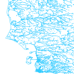
HY.PhysicalWaters.WaterBodies (HY.PhysicalWaters.WaterBodies)
HY.PhysicalWaters.WaterBodies