British Geological Survey |
|
British Geological Survey (BGS) GeoIndex - Offshore MEDIN Oil and Gas Industry Site Surveys
http://maps.bgs.ac.uk/ArcGIS/services/GeoIndex/GeoIndex_Offshore_Medin_WMS/MapServer/WMSServer
| Service health Now: |
|---|
- Interface
- Web Service, OGC Web Map Service 1.3.0
- Keywords
- Maps, Geology, United Kingdom, GeoIndex, Data, Spatial, Holdings, Geoscience, Services, Offshore, Information, Boreholes, Collections, Engineering, Geochemistry, Geophysics, Government, Minerals, Landsat, Products, Earthquakes, MEDIN, Oil, Gas, Site surveys
- Fees
- none
- Access constraints
- The GeoIndex data is made available for free for all personal information uses. You are not permitted to sell on this data without first obtaining a licence from BGS. Your use of any information provided by the British Geological Survey (BGS) is at your own risk. Neither BGS nor the Natural Environment Research Council (NERC) gives any warranty, condition or representation as to the quality, accuracy or completeness of the information or its suitability for any use or purpose. All implied conditions relating to the quality or suitability of the information, and all liabilities arising from the supply of the information (including any liability arising in negligence) are excluded to the fullest extent permitted by law.
- Supported languages
- No INSPIRE Extended Capabilities (including service language support) given. See INSPIRE Technical Guidance - View Services for more information.
- Data provider
-
British Geological Survey (unverified)
Contact information:
Keith Westhead
British Geological Survey
postal:
Murchison House, EH9 3LA Edinburgh, UKEmail:
Phone: +44 (0)131 667 1000
- Service metadata
- No INSPIRE Extended Capabilities (including service metadata) given. See INSPIRE Technical Guidance - View Services for more information.
Ads by Google
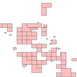
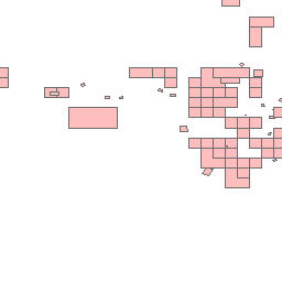
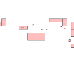
Data from the British Geological Survey's GeoIndex Offshore MEDIN Oil and Gas Industry Site Surveys data are made available for viewing here. GeoIndex is a website that allows users to search for information about BGS data collections covering the UK and other areas world wide. Access is free, the interface is easy to use, and it has been developed to enable users to check coverage of different types of data and find out some background information about the data. More detailed information can be obtained by further enquiry via the web site: www.bgs.ac.uk/geoindex. Contains Ordnance Survey data copyright Crown copyright and database right 2010.
Available map layers (1)
MEDIN Oil and Gas Industry Site Surveys (0)
MEDIN Oil and Gas Industry Site Surveys
There are currently no notifications for the service, click the feed icon to subscribe.