[unknown data provider] |
|
Canadian Geographical Names Web Map Service
| Service health Now: |
|---|
- Interface
- Web Service, OGC Web Map Service 1.3.0
- Keywords
- Fees
- unknown
- Access constraints
- unknown
- Supported languages
- No INSPIRE Extended Capabilities (including service language support) given. See INSPIRE Technical Guidance - View Services for more information.
- Data provider
-
unknown (unverified)
Contact information:
- Service metadata
- No INSPIRE Extended Capabilities (including service metadata) given. See INSPIRE Technical Guidance - View Services for more information.
Ads by Google
The Canadian Geographical Names Service (CGNS) provides an online Open Geospatial Consortium (OGC) compliant web mapping service and is compatible with the Canadian Geospatial Data Infracstructure (CGDI). The CGNS WMS allows for custom cartographic styling through the OGC Styled Layer Descriptor (SLD) Specification. The purpose of CGNS is to gather names that have been approved by the Geographical Names Board of Canada (GNBC) and to make these authoritative records available for government and public use. Ce Service de cartes Web (WMS) du Service canadien de toponymie (SCT) est un service Internet qui donne aux concepteurs d'outils cartographiques OGC, un accès aux toponymes et leurs attributs. Grâce à ce service, les développeurs peuvent accéder à nos données de base les plus récentes. Le sous-ensemble des données du SCT qui est offert pour la visualisation est celui des toponymes officiellement approuvés.
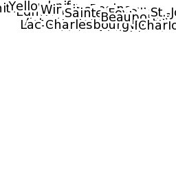
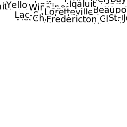
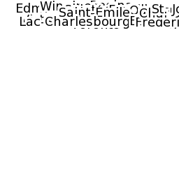
Available map layers (2)
GEONAMES (GEONAMES:cgns)
GEONAMES (GEONAMES:cgns)
There are currently no notifications for the service, click the feed icon to subscribe.