Service public de Wallonie |
|
ORTHO_2006_2007
https://geoservices.wallonie.be/arcgis/services/IMAGERIE/ORTHO_2006_2007/MapServer/WMSServer
| Service health Now: |
|---|
- Interface
- Web Service, OGC Web Map Service 1.3.0
- Keywords
- Vue aérienne, Orthophotoplan, Image aérienne, Ortho-imagerie
- Fees
- unknown
- Access constraints
- unknown
- Supported languages
- No INSPIRE Extended Capabilities (including service language support) given. See INSPIRE Technical Guidance - View Services for more information.
- Data provider
-
Service public de Wallonie (unverified)
Contact information:
Service public de Wallonie
Namur, Belgium
Email:
- Service metadata
- No INSPIRE Extended Capabilities (including service metadata) given. See INSPIRE Technical Guidance - View Services for more information.
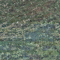
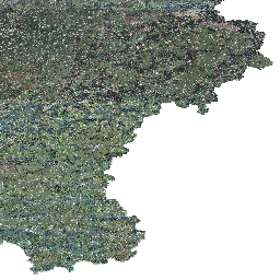
Imagerie orthorectifiée et mosaïquée couvrant l'entièreté du territoire wallon à une résolution de 50 cm.
Available map layers (1)
ORTHOS_2006_2007 (0)
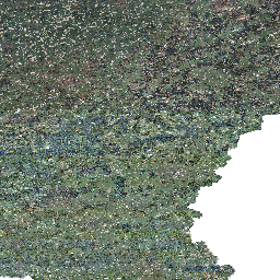
Imagerie orthorectifiée et mosaïquée couvrant l'entièreté du territoire wallon à une résolution de 50 cm. Pour plus d'informations sur cette données, consultez https://geoportail.wallonie.be/catalogue/e26fe111-7d7d-434e-bca1-71f7b5d0e4fb.html