SDIS 17 |
|
WMS de la GéoPlateforme17
| Service health Now: |
|---|
- Interface
- Web Service, OGC Web Map Service 1.3.0
- Keywords
- WFS, WMS, GEOSERVER
- Fees
- NONE
- Access constraints
- NONE
- Supported languages
- No INSPIRE Extended Capabilities (including service language support) given. See INSPIRE Technical Guidance - View Services for more information.
- Data provider
-
SDIS 17 (unverified)
Contact information:
Joël Pouvreau
SDIS 17
SDIS de la Charente-Maritime ZI des 4 Chevaliers 1 rond-point de la République, 17187 PERIGNY, FRANCE
Email:
- Service metadata
- No INSPIRE Extended Capabilities (including service metadata) given. See INSPIRE Technical Guidance - View Services for more information.
Available map layers (7)
Hydraclic (hydraclic)
Layer-Group type layer: hydraclic
Structure SDIS (op_sdis)
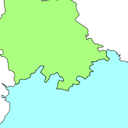
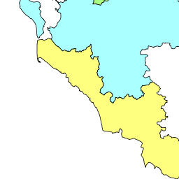
Niveau de risque (risque_fdf_departement)
CIS (structure_sdis_cis)
Poste de secours plage (structure_sdis_poste_sec_plage)
PEI (view_pei)
Cluster PEI (view_pei_cluster)