DPI Victoria - Earth Resource Developm… |
|
DPI Bedrock and Superficial Geology
http://geology.data.vic.gov.au/services/onegeology/DPI_Bedrock_and_Superficial_Geology/wms
| Service health Now: |
|---|
- Interface
- Web Service, OGC Web Map Service 1.1.1
- Keywords
- WMS, OneGeology, Seamless, Geology, Victoria, Australia, MD_LANG@ENG, MD_DATE@2012-05-18
- Fees
- NONE
- Access constraints
- Copyright © The State of Victoria, 2002 - 2012. The data is subject to Crown copyright (State of Victoria) and interested parties are required to enter into a licence agreement.
- Data provider
-
DPI Victoria - Earth Resource Development Division (unverified)
Contact information:
Paul A. MacDonald
DPI Victoria - Earth Resource Development Division
Work:
9/55 Collins St, 3000 Melbourne, AUSTRALIAEmail:
Phone: +61 3 9658 4531
Geology Web Map Service Maintained by the Victorian Department of Primary Industries - Earth Resource Development Division. These maps are produced by the Seamless Geology project. The data represent the surface geology, including surficial unconsolidated deposits and outcropping (or near-outcropping) bedrock, geological unit contacts, faults and shear zones. The project provides a seamless geological interpretation of the surface geology of Victoria. Geometry and attribution are reconciled at scale and across scales for 1:50 000 and 1:250 000. Geology of suitable quality collected in the pre-digital era (eg 1 to 1 mile maps) supplements the more recent data in the 50k and 250k layers. The project generalised the reconciled 50k geological mapping into the 250k.
Available map layers (5)
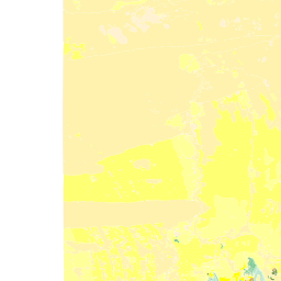
AU-VIC DPI 1:250k Basement Age (oneg:AU-VIC_DPI_250k_BA)
This dataset contains primary geological data, namely outcropping/sub-cropping geological rock units and boundary types separating rock units. The polygon edges are constructed from the corresponding geological contacts and faults layer. Theme based on the 2010 version of the IUGS International stratigraphic chart (International Commission on Stratigraphy : http://www.stratigraphy.org/).
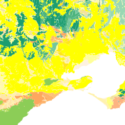
AU-VIC DPI 1:250k Basement Lithostratigraphy (oneg:AU-VIC_DPI_250k_BLS)
This dataset contains primary geological data, namely outcropping/sub-cropping geological rock units and boundary types separating rock units. The polygon edges are constructed from the corresponding geological contacts and faults layer. Theme based on Victorian lithostratigraphy.
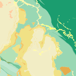
AU-VIC DPI 1:250k Basement Lithology (oneg:AU-VIC_DPI_250k_BLT)
This dataset contains primary geological data, namely outcropping/sub-cropping geological rock units and boundary types separating rock units. The polygon edges are constructed from the corresponding geological contacts and faults layer. Theme adapted from Moyer,Hasting and Raines, 2005 (http://pubs.usgs.gov/of/2005/1314/of2005-1314.pdf) for GeoSciML testbeds.
AU-VIC DPI 1:250k Structural Feature - Contact (oneg:AU-VIC_DPI_250k_SF_CONTACT)
Geological boundaries represented as two dimensional lines. Other geological features (e.g. fault or dyke) are included where the feature forms a boundary to rock units. The polygon edges are constructed from the corresponding geological contacts and faults layer.
AU-VIC DPI 1:250k Structural Feature - Shear Disp. Structure (oneg:AU-VIC_DPI_250k_SF_SHEARDISPSTR)
Shear displacement structures. Other geological features (e.g. fault or dyke) are included where the feature forms a boundary to rock units. The lines are constructed from the corresponding geological contacts and faults layer.