Environmental Information Data Centre |
|
UKCEH digital river network of Great Britain web map service
https://catalogue.ceh.ac.uk/maps/a78c90a2-8da4-4f0a-9c6a-c1d1a4a3c2b0

| Service health Now: |
|---|
- Interface
- Web Service, OGC Web Map Service 1.3.0
- Keywords
- Hydrology, infoMapAccessService, infoMapAccessService
- Fees
- unknown
- Access constraints
- None
- Supported languages
- eng
- Data provider
-
Environmental Information Data Centre (unverified)
Contact information:
Environmental Information Data Centre
Postal:
UK Centre for Ecology & Hydrology, Lancaster Environment Centre, Library Avenue, Bailrigg, LA1 4AP Lancaster, UKEmail:
- Service metadata
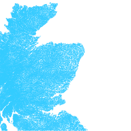
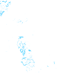
This is a web map service of the UKCEH digital river network of Great Britain (1:50,000). It is a river centreline network, based originally on OS 1:50,000 mapping. There are four layers: rivers; canals; surface pipes (man-made channels such as aqueducts and leats) and miscellaneous channels (including estuary and lake centre-lines and some underground channels).
Available map layers (5)
UKCEH digital river network of Great Britain web map service (WMS)
This is a web map service of the UKCEH digital river network of Great Britain (1:50,000). It is a river centreline network, based originally on OS 1:50,000 mapping. There are four layers: rivers; canals; surface pipes (man-made channels such as aqueducts and leats) and miscellaneous channels (including estuary and lake centre-lines and some underground channels).
Misc (HY.PhysicalWaters.WaterBodies.Misc)
Pipes (HY.PhysicalWaters.WaterBodies.Pipes)
Canals (HY.PhysicalWaters.WaterBodies.Canals)
Rivers (HY.PhysicalWaters.WaterBodies.Rivers)