[unknown data provider] |
|
| Service health Now: |
|---|
- Interface
- Web Service, OGC Web Map Service 1.3.0
- Keywords
- Fees
- unknown
- Access constraints
- unknown
- Supported languages
- No INSPIRE Extended Capabilities (including service language support) given. See INSPIRE Technical Guidance - View Services for more information.
- Data provider
-
unknown (unverified)
Contact information:
- Service metadata
- No INSPIRE Extended Capabilities (including service metadata) given. See INSPIRE Technical Guidance - View Services for more information.
Ads by Google
WMS
Available map layers (2)
WAM Wetness Index (0)
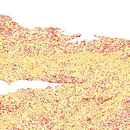
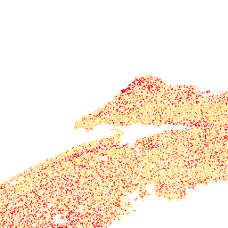
Wet Area Mapping wetness index. Provincial Wet Areas Mapping (WAM) is the product of research work carried out by the Nexfor/Bowater Forest Watershed Research Centre at the University of New Brunswick (led by Dr. Paul Arp). This project was funded by several government and industry partners (see list of partners below). The WAM model predicts where water will naturally flow and/or accumulate in the landscape based on digital elevation (DEM) data and the known location of surface water bodies and wetlands. In essence, WAM is a "cartographically derived depth-to-water index." It is important for users of WAM to understand that depth values listed do not represent predicted depth to a water table or ground water, rather they are a relative wetness index which can be related to the likelihood of there being natural water flows (above or below ground) and accumulation of water as reflected by on-site drainage conditions (well, moderately well, imperfect, poor, very poor). WAM does not take into account soil conditions that may further influence drainage conditions (such as soil texture), nor does it predict flows and accumulations that are the result of human disturbance or infrastructure. The WAM project was completed under contract by the University of New Brunswick in 2005-2007. Contributing partners to the project were: • Nova Scotia Department of Natural Resources • Bowater Mersey Paper Ltd. • J.D. Irving Ltd. • Neenah Paper Inc. • StoraEnso Port Hawkesbury Ltd. • Nova Forest Alliance Model Forest • Agriculture and Agri-Food Canada • Parks Canada • Nova Scotia Environment and Labour • Service Nova Scotia WAM products made available here for public use are through the courtesy of project partners.
WAM Predicted Flow (1)
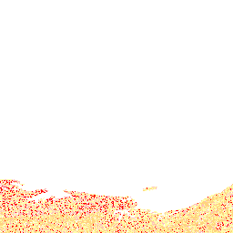
This is a line thematic layer for predicted/unmapped/ephemeral streams (surface and subsurface drainage) in Nova Scotia as created through the flow accumulation subprocess of the Wet Areas Mapping (WAM) project. The predicted polyline features mimic mapped stream paths, and extend beyond the mapped endpoints to include unmapped channels. A minimum threshold drainage area of four (4) hectares was used. The project was completed under contract by the Nexfor/Bowater Forest Watershed Research Centre at the University of New Brunswick. Contributing partners to the WAM project are: • Nova Scotia Department of Natural Resources • Bowater Mersey Paper • J.D. Irving Ltd. • Neenah Paper • Stora Enso Port Hawkesbury • Nova Forest Alliance • Agriculture and Agri-Food Canada • Parks Canada Service • Nova Scotia Geomatics Centre • Nova Scotia Environment and Labour
There are currently no notifications for the service, click the feed icon to subscribe.