Geoinformation Kanton Zürich |
|
Orthofoto SWISSIMAGE 2010
| Service health Now: |
|---|
- Interface
- Web Service, OGC Web Map Service 1.3.0
- Keywords
- GIS-ZH, Geodaten
- Fees
- none
- Access constraints
- none
- Supported languages
- No INSPIRE Extended Capabilities (including service language support) given. See INSPIRE Technical Guidance - View Services for more information.
- Data provider
-
Geoinformation Kanton Zürich (unverified)
Contact information:
gis@bd.zh.ch
Geoinformation Kanton Zürich
text/html:
Stampfenbachstrasse 12, 8001 Zürich, SchweizEmail:
- Service metadata
- No INSPIRE Extended Capabilities (including service metadata) given. See INSPIRE Technical Guidance - View Services for more information.
Geodienst des GIS-ZH
Available map layers (13)
Orthofoto SWISSIMAGE 2010 (ortho10ZH)
Geodienst des GIS-ZH
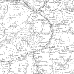
LK 1:500 000 (lk500)
LK 1:200 000 (lk200)
LK 1:100 000 (lk100)
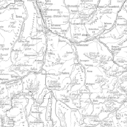
LK 1:50 000 (lk50)
LK 1:25 000 (lk25)
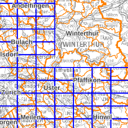
Übersichtsplan 1:5000 (up8)
Übersichtsplan 1:2500 (up24)
Orthophotos 2010 (ortho2010)
Bezirks- und Kantonsgrenzen (grenzen)
Gemeindegrenzen (gemeindegrenzen)
Blatteinteilung (blatteinteilung-orthofotos-2010)
Bezirkslabels (bezirkslabels)