[unknown data provider] |
|
| Service health Now: |
|---|
- Interface
- Web Service, OGC Web Map Service 1.3.0
- Keywords
- Fees
- unknown
- Access constraints
- unknown
- Supported languages
- No INSPIRE Extended Capabilities (including service language support) given. See INSPIRE Technical Guidance - View Services for more information.
- Data provider
-
unknown (unverified)
Contact information:
- Service metadata
- No INSPIRE Extended Capabilities (including service metadata) given. See INSPIRE Technical Guidance - View Services for more information.
Ads by Google
WMS
Available map layers (15)
Neighboring Countries (0)
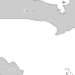
Mexican States (1)
Mexico States represents the states of Mexico with coastlines, international boundaries, and state boundaries.
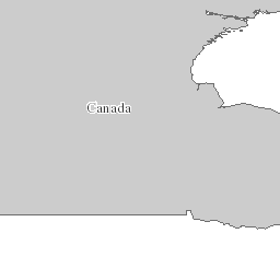
Canadian Provinces (2)
Canada Provinces represents the Canadian provinces and territories as well as coastlines, international boundaries, provincial boundaries, and demographics. The boundaries are digitized from CanMap®.
United States Boundaries (3)
U.S. Lakes (4)
U.S. Rivers (5)
State Boundaries (6)
US Boundary (7)
Railways (8)
Interstates (9)
TBDR_LASPorts (11)
Cities with Population < 500,000 (12)
Cities with Population > 500,000 (13)
State Capitals (14)
National Capital (15)
There are currently no notifications for the service, click the feed icon to subscribe.