[unknown data provider] |
|
demo.lizardtech.com:80

| Service health Now: |
|---|
- Interface
- Web Service, OGC Web Map Service 1.1.1
- Keywords
- Fees
- unknown
- Access constraints
- unknown
- Data provider
-
unknown (unverified)
Contact information:
Available map layers (41)
BC (BC)
Colorado (Colorado)
.AREA1A (.AREA1A)
.area1 (.area1)
.area2 (.area2)
.area3 (.area3)
.area4 (.area4)
Florida_Mosaic (Florida_Mosaic)
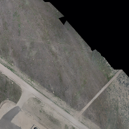
GrandCouleeDam_LiDAR (GrandCouleeDam_LiDAR)
Idaho-IR (Idaho-IR)
Idaho-RGB (Idaho-RGB)
JPIP (JPIP)
LasVegas_LiDAR (LasVegas_LiDAR)
MODIS Data 2002 (MODIS)
Miami_Hillshade (Miami_Hillshade)
Mount_St_Helens_Hillshade (Mount_St_Helens_Hillshade)
MtStHelens (MtStHelens)
Mt_Mitchell_LiDAR (Mt_Mitchell_LiDAR)
Oregon (Oregon)
.26910 (.26910)
.26911 (.26911)
Salton_Sea_Sentinel-2a_Multispectral (Salton_Sea_Sentinel-2a_Multispectral)
Salton_Sea_Sentinel-2a_RGB (Salton_Sea_Sentinel-2a_RGB)
SaoPaulo (SaoPaulo)
Seattle1890 (Seattle1890)
Shenzhen (Shenzhen)
StCroix (StCroix)
Sunset_Crater (Sunset_Crater)
Sunset_Crater_Volcano_LiDAR (Sunset_Crater_Volcano_LiDAR)
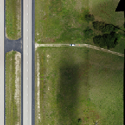
UAV (UAV)
UAV_Road_Corridor (UAV_Road_Corridor)
UAV_Road_1 (UAV_Road_1)
UAV_Road_5 (UAV_Road_5)
UAV_Road_3 (UAV_Road_3)
UAV_Road_2 (UAV_Road_2)
UAV_Road_4 (UAV_Road_4)
UX5_UAV_Example (UX5_UAV_Example)
Washington (Washington)
.zone10 (.zone10)
.zone11 (.zone11)
Washington_D.C. (Washington_D.C.)