UAB-CREAF-MiraMon |
|
UAB-CREAF-MiraMon OWS-6 WMTS test demostration
| Service health Now: |
|---|
- Interface
- Web Service, OGC Web Map Tiling Service WMTS_1.0.0
- Keywords
- Demonstration, Interoperability program, Tiles
- Fees
- none
- Access constraints
- none
- Supported languages
- No INSPIRE Extended Capabilities (including service language support) given. See INSPIRE Technical Guidance - View Services for more information.
- Data provider
-
UAB-CREAF-MiraMon (unverified)
Contact information:
Joan Masó
UAB-CREAF-MiraMon
Fac. Ciencies. Universitat Autònoma de Barcelona, 08193 Bellaterra, Spain
Email:
Phone: +34 93 581 1312
- Service metadata
- No INSPIRE Extended Capabilities (including service metadata) given. See INSPIRE Technical Guidance - View Services for more information.
UAB-CREAF-MiraMon test demostration for OWS-6 WMTS Gulf of mexico area.
Available map layers (3)
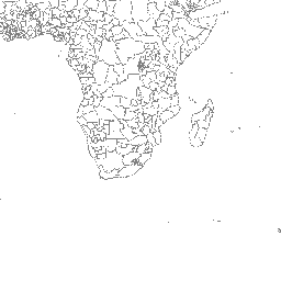
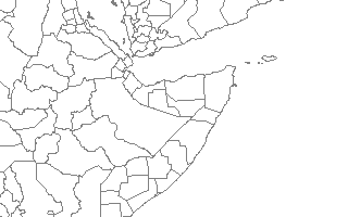
Administrative Boundaries - First Level (AdminBoundaries)
The sub Country Administrative Units 1998 GeoDataset represents a small-scale political map of the world. The data are generalized and were designed for display at scales to about 1:10,000,000. The data were generalized from ESRI's ArcWorld Supplement Map data. Country codes are from U.S. Federal Information Processing Standards (FIPS) version 10-4. World sub Country Administrative Units represent 2605 first level administrative units such as states and provinces with 14 descriptive fields.
ETOPO2 - 2 minute Worldwide Bathymetry/Topography (etopo2)
Data taken from National Geophysical Data Center(NGDC) CD-ROM, ETOPO2. Global 2' Elevations, September 2001. Author: Dr. Peter W. Sloss (Peter.W.Sloss@noaa.gov), NOAA/NGDC, Mail Code E/GC3, 325 Broadway, Boulder, CO USA 80305. tel:303-497-6119, fax 303-497-6513.
Gulf of mexico 1:250000 charts CADRG (CADRG)
This CADRG data has been created from ADRG source of Public Sale JOG-Air charts (1:250,000) over the Gulf of Mexico. September 2007 CHUM has been applied.