[unknown data provider] |
|
| Service health Now: |
|---|
- Interface
- Web Service, OGC Web Map Service 1.3.0
- Keywords
- Fees
- unknown
- Access constraints
- unknown
- Supported languages
- No INSPIRE Extended Capabilities (including service language support) given. See INSPIRE Technical Guidance - View Services for more information.
- Data provider
-
unknown (unverified)
Contact information:
- Service metadata
- No INSPIRE Extended Capabilities (including service metadata) given. See INSPIRE Technical Guidance - View Services for more information.
Ads by Google
WMS
Available map layers (3)
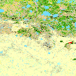
Land Cover Classification (0)
This datasets represents a Land Cover Classification (LCC) performed by Western Heritage of Saskatoon. Using SPOT 4 satellite imagery (provided by BlackBridge Geomatics Corp. of Calgary, Alta) a classification was performed on an ecoregion by ecoregion basis to obtain land cover classes that would be representative of forest fuels/reclassified to Candian Forest Service (CFS) fueltypes for fire modelling purposes.
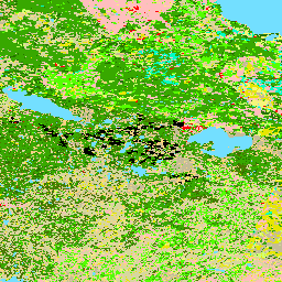
FBP Fuel Type (1)
The FBP system organizes fuels into five major groups (coniferous, deciduous, mixedwood, slash and open), with a total number of 16 discrete fuel types for Canada; Saskatchewan using only 10. These fuel types are used to describe fire behaviour characteristics that would be expected under various burning conditions.
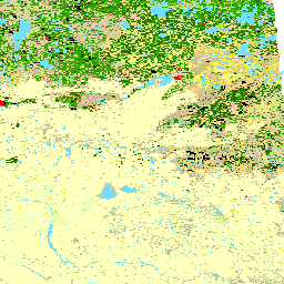
Fuel Management Plots (2)
Inform Wildfire Operations staff of where fuel management projects are located to aid with suppression planning
There are currently no notifications for the service, click the feed icon to subscribe.