Earth Resources Observation and Scienc… |
|
TNM_Large_Scale_Imagery_Overlay
http://raster.nationalmap.gov/arcgis/services/TNM_Large_Scale_Imagery_Overlay/MapServer/WMSServer
| Service health Now: |
|---|
- Interface
- Web Service, OGC Web Map Service 1.3.0
- Keywords
- Fees
- none
- Access constraints
- None. Acknowledgment of the U.S. Geological Survey would be appreciated in products derived from these data.
- Supported languages
- No INSPIRE Extended Capabilities (including service language support) given. See INSPIRE Technical Guidance - View Services for more information.
- Data provider
-
Earth Resources Observation and Science (EROS) (unverified)
Contact information:
Customer Services Representative
Earth Resources Observation and Science (EROS)
postal:
47914 252nd Street, 57198 Sioux Falls, USAEmail:
Phone: (605) 594-6151
- Service metadata
- No INSPIRE Extended Capabilities (including service metadata) given. See INSPIRE Technical Guidance - View Services for more information.
Ads by Google
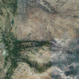
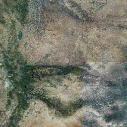
The USGS TNM_Large_Scale_Imagery_Overlay service from The National Map contains outlines of the current orthoimagery holdings available in the TNM_Large_Scale_Imagery service. The outline data is for the 1_meter_imagery layer and the 1_foot_imagery layer, and is viewable at all scales.
Available map layers (3)
1_meter_imagery (0)
1_meter_imagery
1_meter_imagery_outlines (1)
1_meter_imagery_outlines
1_foot_imagery_outlines (2)
1_foot_imagery_outlines
There are currently no notifications for the service, click the feed icon to subscribe.