[unknown data provider] |
|
2007_madison
| Service health Now: |
|---|
- Interface
- Web Service, OGC Web Map Service 1.1.1
- Keywords
- MODIS, satellite, imagery
- Fees
- unknown
- Access constraints
- unknown
- Data provider
-
unknown (unverified)
Contact information:
This WMS mapservice is a test of integrating atmospheric satellite imagery with a GIS.
Available map layers (2)
2007_madison (2007_madison)
16TCN303047820 (16TCN303047820)
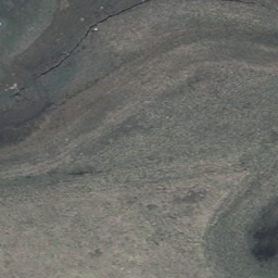
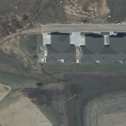
This is a 1-foot resolution imagery mosaic from the USGS compiled in 2007.Imagery available for download at WisconsinView. Contact Sam Batzli for details.