British Geological Survey |
|
BGS soil data layers as featured in the NERC Soil Portal
http://mapapps2.bgs.ac.uk/arcgis/services/SoilPortal/SoilPortal/MapServer/WMSServer
| Service health Now: |
|---|
- Interface
- Web Service, OGC Web Map Service 1.3.0
- Keywords
- Map, Geology, Soil, United Kingdom, Parent material, Soil texture, Calcareous content, Grain size, Soil thickness, Soil European Soil Bureay description, Soil group
- Fees
- none
- Access constraints
- These data are delivered under the terms of the Open Government Licence (http://www.nationalarchives.gov.uk/doc/open-government-licence/), subject to the following acknowledgement accompanying the reproduced BGS materials: Contains British Geological Survey materials copyright NERC [year]. Contact us if you create something new and innovative that could benefit others usingbgsdata@bgs.ac.uk.
- Supported languages
- eng
- Data provider
-
British Geological Survey (unverified)
Contact information:
Matt Harrison
British Geological Survey
postal:
British Geological Survey Environmental Science Centre, NG12 5GG Keyworth, UKEmail:
Phone: +44 (0)115 936 3100
- Service metadata
BGS soil data layers as featured in the NERC Soil Portal are made available in this WMS. The NERC Soil Portal provides a gateway to discover, view and download large-scale soils property datasets from across NERC research centres. These data are delivered under the terms of the Open Government Licence (http://www.nationalarchives.gov.uk/doc/open-government-licence/), subject to the following acknowledgement accompanying the reproduced BGS materials: Contains British Geological Survey materials copyright NERC [year]. Contact us if you create something new and innovative that could benefit others usingbgsdata@bgs.ac.uk.
Available map layers (17)
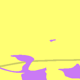
BGS NERC Soil Portal Data (BGS.NERC.Soil.Portal.Data)
BGS NERC Soil Portal Data
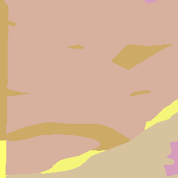
Parent Material Soil texture simple (Parent.Material.Soil.texture.simple)
Parent Material Soil texture simple
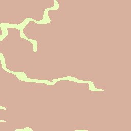
Parent Material Soil layer thickness (Parent.Material.Soil.layer.thickness)
Parent Material Soil layer thickness
Parent Material Soil layer textures (Parent.Material.Soil.layer.textures)
Parent Material Soil layer textures
Parent Material Grain size (Parent.Material.Grain.size)
Parent Material Grain size
Parent Material European Soil Bureau Description (Parent.Material.European.Soil.Bureau.Description)
Parent Material European Soil Bureau Description
Parent Material Parent calcareous content (Parent.Material.Parent.calcareous.content)
Parent Material Parent calcareous content
Parent Material Soil group (Parent.Material.Soil.group)
Parent Material Soil group
Parent Material Soil texture simple 1km (Parent.Material.Soil.texture.simple.1km)
Parent Material Soil texture simple 1km
Parent Material Soil layer thickness 1km (Parent.Material.Soil.layer.thickness.1km)
Parent Material Soil layer thickness 1km
Parent Material Soil layer textures 1km (Parent.Material.Soil.layer.textures.1km)
Parent Material Soil layer textures 1km
Parent Material Grain size 1km (Parent.Material.Grain.size.1km)
Parent Material Grain size 1km
Parent Material European Soil Bureau Description 1km (Parent.Material.European.Soil.Bureau.Description.1km)
Parent Material European Soil Bureau Description 1km
Parent Material Parent calcareous content 1km (Parent.Material.Parent.calcareous.content.1km)
Parent Material Parent calcareous content 1km
Parent Material Soil group 1km (Parent.Material.Soil.group.1km)
Parent Material Soil group 1km
GBASE Laser texture (GBASE.Laser.texture)
GBASE Laser texture
Soil depth from boreholes (Soil.depth.from.boreholes)
Soil depth from boreholes