[unknown data provider] |
|
Atlas of Canada Framework Data Sets WMS
| Service health Now: |
|---|
- Interface
- Web Service, OGC Web Map Service 1.1.1
- Keywords
- Fees
- none
- Access constraints
- none
- Data provider
-
unknown (unverified)
Contact information:
Ads by Google
The Atlas of Canada's Web Mapping Service (WMS) is an Internet-based service designed to provide developers of on-line mapping tools access to the Atlas of Canada's Framework Data Sets. By using this service, developers gain access to our most current and accurate base data for rendering customized maps. Our OGC-compliant WMS technology will be provided free of charge and does not require a contract, license agreement or any special software systems - only a web browser such as Internet Explorer or Firefox. This WMS provides access to five different Framework Data Sets (world, North ciccumpolar region, North America, Canada 7.5 million, and Canada 1 million). Each Framework Data sets provides is a set of integrated base map layers depicting the locations of features such as hydrology, roads, railways, populated places and administrative boundaries. A number of non-standard projections are available via this WMS. They are: 54003 - World Miller Cylindrical, 54004 - World Mercator, 54008 - World Sinusoidal, 54009 - World Mollweide, 54030 - World Robinson, 102016 - North Pole Azimuthal Equidistant, 102017 - North Pole Lambert Azimuthal Equal Area, 102018 - North Pole Stereographic, 102008 - North America Albers Equal Area Conic, and 102009 - North America Lambert Conformal Conic.
Available map layers (2)
Atlas of Canada Framework Data Sets WMS (wms_atlasofcanada_eng)
The Atlas of Canada's Web Mapping Service (WMS) is an Internet-based service designed to provide developers of on-line mapping tools access to the Atlas of Canada's Framework Data Sets. By using this service, developers gain access to our most current and accurate base data for rendering customized maps. Our OGC-compliant WMS technology will be provided free of charge and does not require a contract, license agreement or any special software systems - only a web browser such as Internet Explorer or Firefox. This WMS provides access to five different Framework Data Sets (world, North ciccumpolar region, North America, Canada 7.5 million, and Canada 1 million). Each Framework Data sets provides is a set of integrated base map layers depicting the locations of features such as hydrology, roads, railways, populated places and administrative boundaries. A number of non-standard projections are available via this WMS. They are: 54003 - World Miller Cylindrical, 54004 - World Mercator, 54008 - World Sinusoidal, 54009 - World Mollweide, 54030 - World Robinson, 102016 - North Pole Azimuthal Equidistant, 102017 - North Pole Lambert Azimuthal Equal Area, 102018 - North Pole Stereographic, 102008 - North America Albers Equal Area Conic, and 102009 - North America Lambert Conformal Conic.
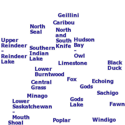
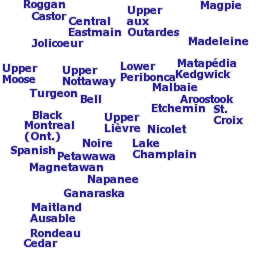
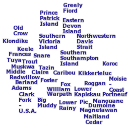
Water Survey of Canada Sub-sub-drainage Area Names (1:1 000 000) (can_1m_env_s_subdr_nam)
Names of Water Survey of Canada sub-sub-drainage areas (1:1 000 000).
There are currently no notifications for the service, click the feed icon to subscribe.